
Route 54
When traveling to downtown Saint Paul, take Metro Transit. It’s fast, reliable and affordable. Learn More
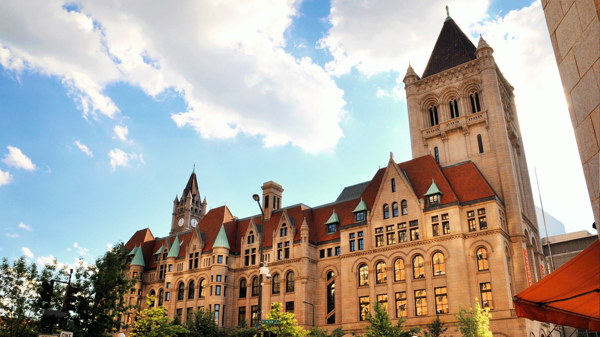
Getting to and around Saint Paul is easy. Our variety of maps will help with all your navigation needs.

Downtown Saint Paul
A comprehensive map of downtown and surrounding neighborhoods that includes hotels, restaurants, attractions, metro transit stops, the skyway system and more
Downtown Saint Paul Walking Map
Selby/Grand Avenues
A comprehensive map of Selby and Grand Avenues and surrounding neighborhoods that includes restaurants, attractions, retail, metro transit stops, historic lodging options and more.
Saint Paul Skyways
It's easy to get around Saint Paul, even in inclement weather. This indoor connection links RiverCentre convention center to the skyway system.
Interactive Downtown Skyway Map
Downtown Bus Parking
Find parking options for buses in the downtown Saint Paul area


Where To Stay

Request an Insider’s Guide

Insider Newsletter Sign-Up
Visitor Information Center
This site uses cookies to provide you with an optimized experience. Learn More